This Seal Stones walk begins with an ascent of Kinder Scout – possibly the most iconic hill of the Peak District – despite its flat and sometimes arduous plateau and despite its lack of drama compared to other “pointy peaks” such as Shuttlingsloe or even Win Hill Pike.
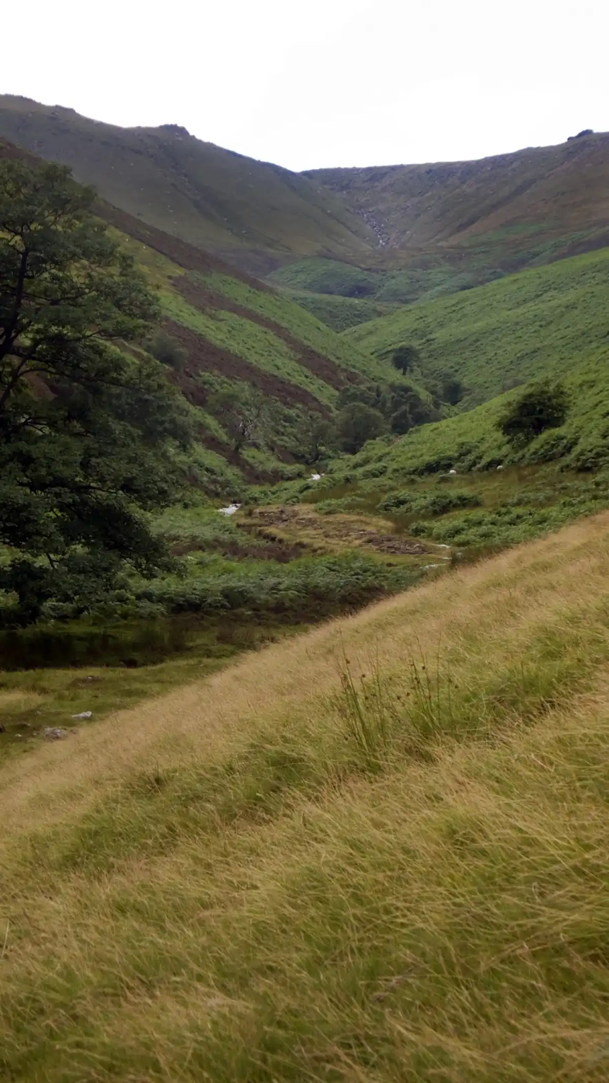
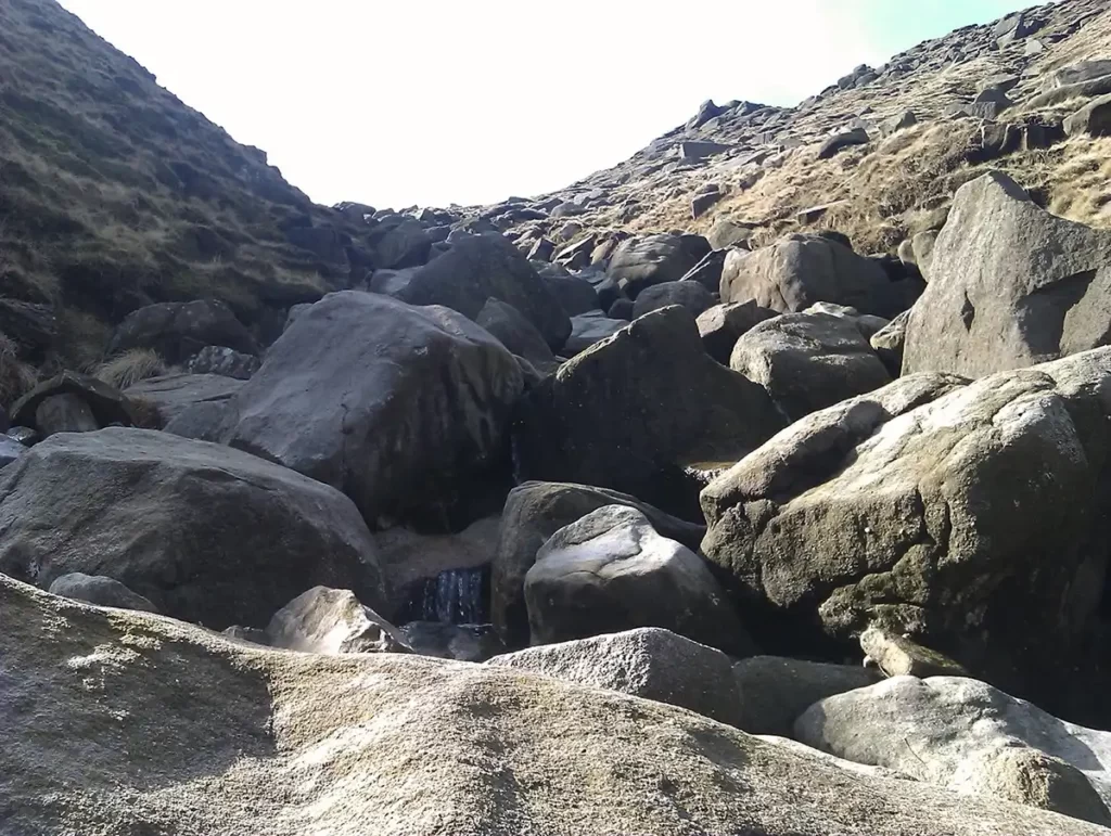
Jacobs ladder is a well-known route but a lesser trodden route up to the peat of Kinder is via Fair Brook. Making its way down as a series of slow trickles converging from the top of Kinder, Fair Brook begins to stream steadily over the rocks and boulders at the top of the valley, joined on its way down by a couple more tributary streams from Black Ashop Moor and Seal Edge, increasing in volume all the way down, to eventually meet with the River Ashop as it follows the Snake Road to reach Ladybower Reservoir.
The return path passes grouse butts so you may wish to check if shooting is occurring on the side of Seal Flats prior to setting off.
Seal Stones Walk Overview
Distance: 6.43 miles (10.3km)
Total Climb: 511m /1677ft
Time: 3 hours 45 minutes
The time is loosely based on Naismiths Rule and will vary depending on the walker.
Get this route on the OS maps website & app
Getting There
By Car:
Free parking at the Birchen Clough Car Park on the A57 Snake Pass. OS Grid Reference SK10939143. Nearest postcode for Satellite Navigation S33 0AB (the car park is farther towards the Snake Summit than the farm track at the postcode)
By Public Transport:
No Public Transport Access.
Walk mapped in August 2013. Due to forestry works since the original description was created, the beginning section around the Snake Inn may have changed from the exact route description. Use of OS map OL1 to navigate to the foot of Fair Brook is recommended. An alternative route between the Snake Inn & Fairbrook is to follow the A57 farther south-east and take the next marked footpath down to the river
Birchen Clough to Snake Inn
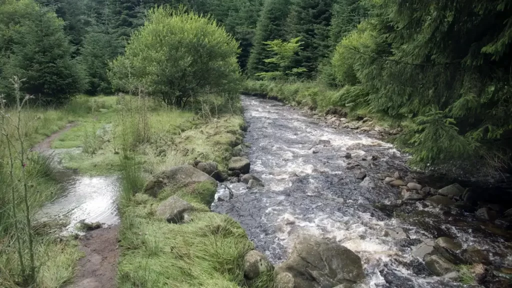
From the Birchen Clough car park cross the road carefully and follow the steps down on the clear footpath to the river, the head left. As a wide track passes, ignore the wide bridge to your right and head straight on and follow the riverside path. Note: A path straight ahead can seem simpler but soon leads into boggy marshland – keeping by the river is the dryest route.
Eventually, the path returns to the A57 Snake Road and towards the Snake Inn

Snake Inn to Fair Brook
Follow the road South-East until you reach a stile heading right, directly opposite the Snake Pass Inn car park. Cross the stile and head down through the woods, keeping a careful eye out to the right as the path heads up to avoid the wet ground, for steps down to a footbridge over the River Ashop
Cross the river and follow the path downstream until a junction. Bear right and follow the stream into the Fair Brook valley.

Climbing Fair Brook
The path is clear and easy to follow as it winds its way up to the top of Kinder, beginning as an easy but narrow path and after passing through a wooden gate, ending with a non-technical scramble to the top of Kinder.

From Fair Brook Walk to Seal Edge
The top of Fair Brook is is a good spot to catch your breath, and on a clear day enjoy the view of the path you have just taken up the Kinder Marilyn before heading NE along the edge of the plateau to the Seal Edge section of this Seal Stones walk.

Despite the boulders and dips in the peat landscape, the pathway to Seal Edge is easy to follow, simply keeping roughly left and following the line of the hillside. Follow Seal Edge until a path bears left NNE at Seal Stones down Gate Side Clough.

From Seal Stones Walk to Gate Side Clough
The narrow track down to Gate Side Clough can be difficult to spot approaching from the west so it pays to have your compass to hand. Keep a keen eye to your left for the clearly visible Upper House Farm on the main A57 Snake Road – when this is almost exactly NNE you need to be looking for the path to the left which starts off narrow and steep. If you find yourself heading South, you have passed the track down the hill, but if you retrace your steps, bearing right where possible, your track soon becomes visible.
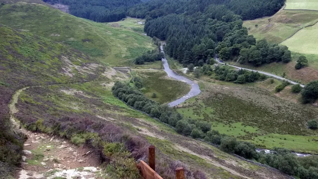
Head down Gate Side Clough on the increasingly easy-to-follow track with clear views of the A57 and of the River Ashop, passing well-maintained wooden grouse butts, and stay on the track until you reach a junction of dry stone walls, a wooden gate and Fair Brook and the River Ashop.

At the foot of the track point there is a ford crossing which may be passable to the wearer of good waterproof boots, back to the woods and the approach path, then retracing your steps back up to the Snake Pass Inn and through the plantations to your car.
If however, the rain has been heavy meaning that the River Ashop & Fair Brook are flowing well, you may need to follow to the left of Fair Brook until a suitable crossing point can be found. You should not need to head up Fair Brook more than 200m at the most before you can find suitable rocks to use as stepping stones, to reach the bottom of the Fair Brook path that you took earlier, and retrace your steps back to the car park